-40%
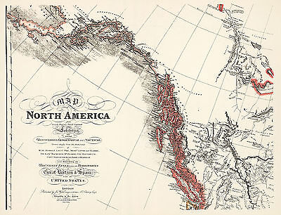
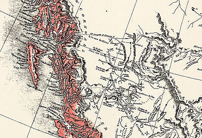
1824 North America Map Canada US 11"x14" Poster Historical Home School Office
$ 6.6
- Description
- Size Guide
Description
1824 Faden's Map of North AmericaDetailed Specifications
This is a reproduction of the original map.
Size: 11"x14"
This Map Comes in
16"x21"
too
We have more
Maps
of
North America
in
Our Store
We also have more
Maps
of
Canada
in
Our Store
All Our Posters and Maps Are Made in the USA
Map of North America from 20 to 80 Degrees North Latitude Exhibiting the recent Discoveries, Geographical and Nautical; Drawn chiefly from the Authorities of M. de Humbolt, Lieut; Pike. Mess. Lewis and Clarke. Sir Alexr. Mackenzie. M. Hearne, Col. Bouchette, Capt. Vancouver, Ross, Parry & Franklin.
Also Describing the Boundary Lines between the Territories of Great Britain & Spain with the United States.
This map comes with a white border around the image
---------------------------
-How are the prints shipped?
They are rolled and placed into a rigid tube.
-Is this available in a larger/smaller size.
Yes. For smaller or larger sizes, email us.
