-40%
1861 SLAVE MAP Moss Point Natchez New Albany Ocean Springs Olive Branch MS HUGE
$ 5.28
- Description
- Size Guide
Description
This is a hugeBlack
and
White
COPY (
No Color
) of an original
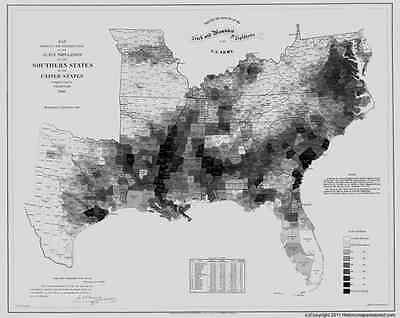
1861 Map titled:
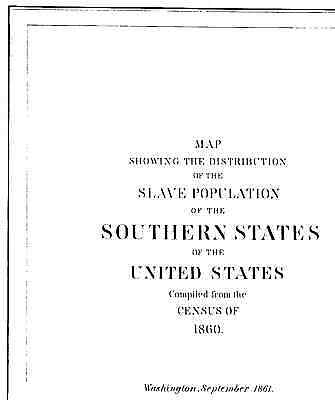
Map
SHOWING the
DISTRIBUTION
of the
SLAVE POPULATION
of the
SOUTHERN STATES
of the
United States
Compiled from the Census of 1860
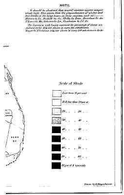
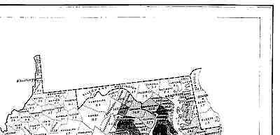
This RARE and UNIQUE map shows the distribution of slaves by each INDIVIDUAL COUNTY based on the census
from 1860 !!!
Census
Office
,
Department
of the
Interior
,
Washington
,
Sept.
9th
,
1861.
At the bottom of the map is a chart outlining the census results including (by state): free population, slave population, total and percentage of slaves.
This map was Sold for the benefit of the sick and wounded soldiers of the U.S ARMY
SEE IMAGES
This map is
HUGE!
---- 29 inches by 24 inches!!!
The city and county names in the title block do not necessarily mean they are shown on the map.
I will mail out in a large mailing tube.
Again, this is a
Black & White COPY
of the huge map,
NOT THE ORIGINAL
. I have the original and it is not for sale.
Would make a great gift !!
Thanks for looking!
