-40%
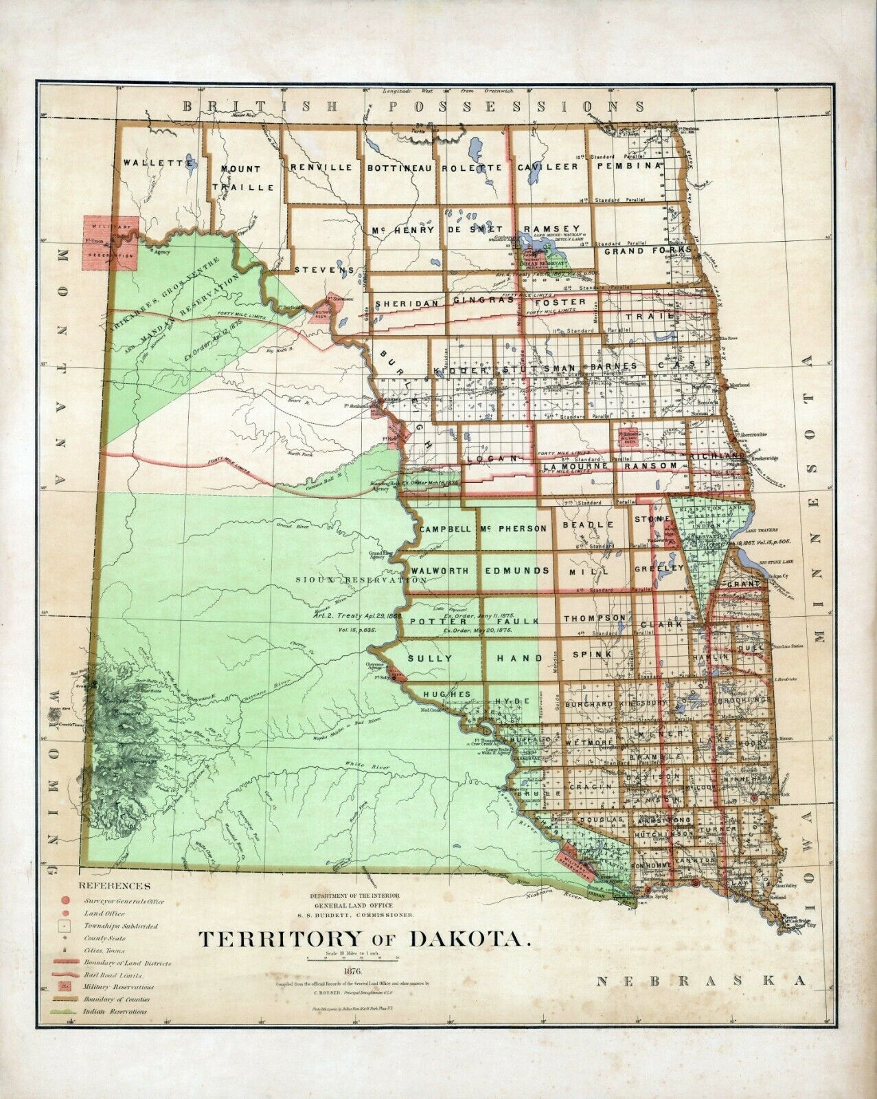
1876 Department Interior MAP Territory Dakota Geographical political 8
$ 8.44
- Description
- Size Guide
Description
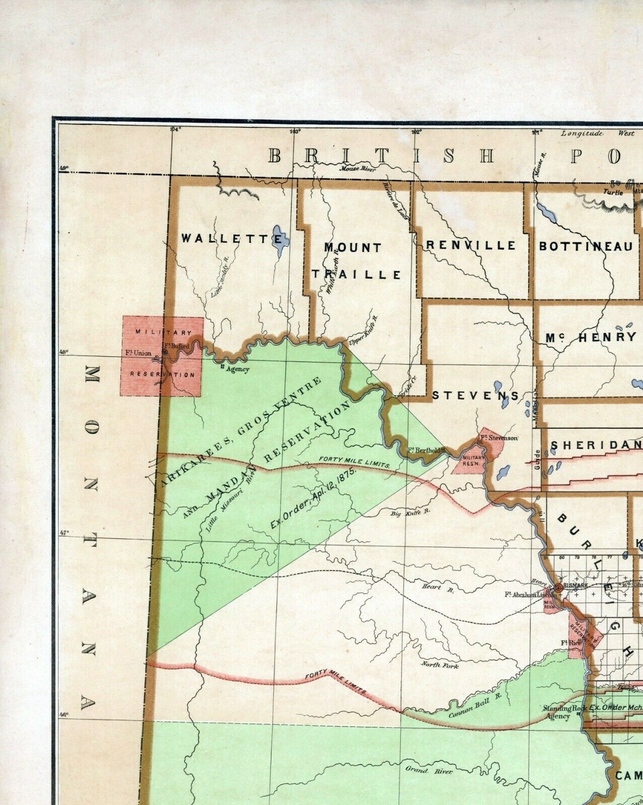
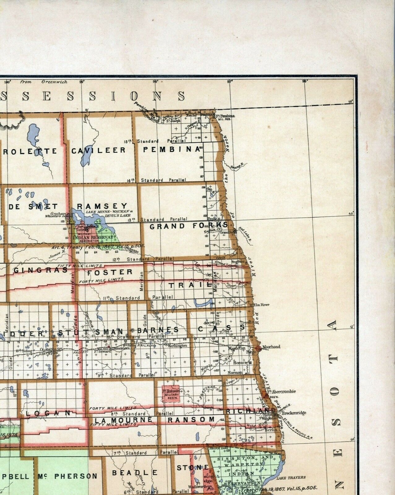
This Auction is for a LARGE unframed MODERN REPRINT of an Antique map as Pictured.From: Department of the Interior, General Land Office. Geographical and political atlas of the states and territories of the United States of America in which the Public Land Surveys are now in operation. S.S. Burdett, Commissioner. Washington City. 1876. Julius Bien, Photolith. & Print.
(#11179)
This map is reproduced on specially coated, matte finish, paper for sharper print quality and colors that are vivid.
Approximate Image Size
Size: 16.5 X 21 inches.
I HAVE MANY HISTORIC REPRINT MAPS AND OTHER ITEMS ON MANY DIFFERENT SUBJECTS. Please check out store for additional products.
I SHIP ALL MAPS ROLLED IN A MAILING TUBE TO PROTECT THE MAP.
