-40%
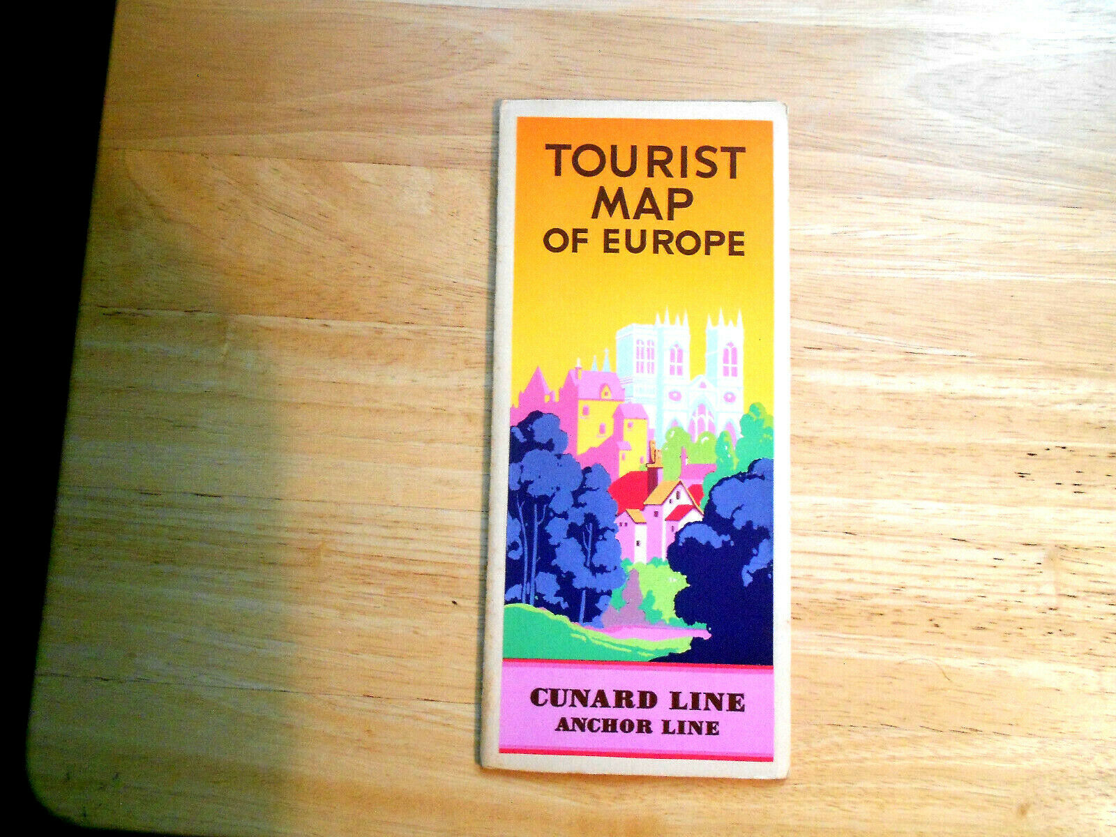
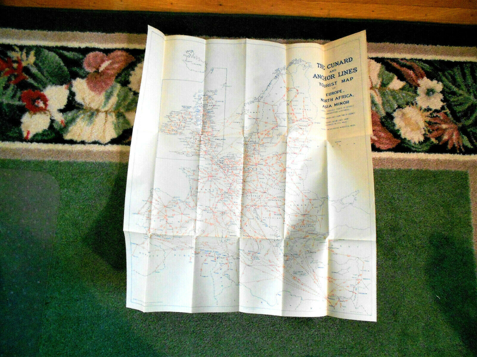
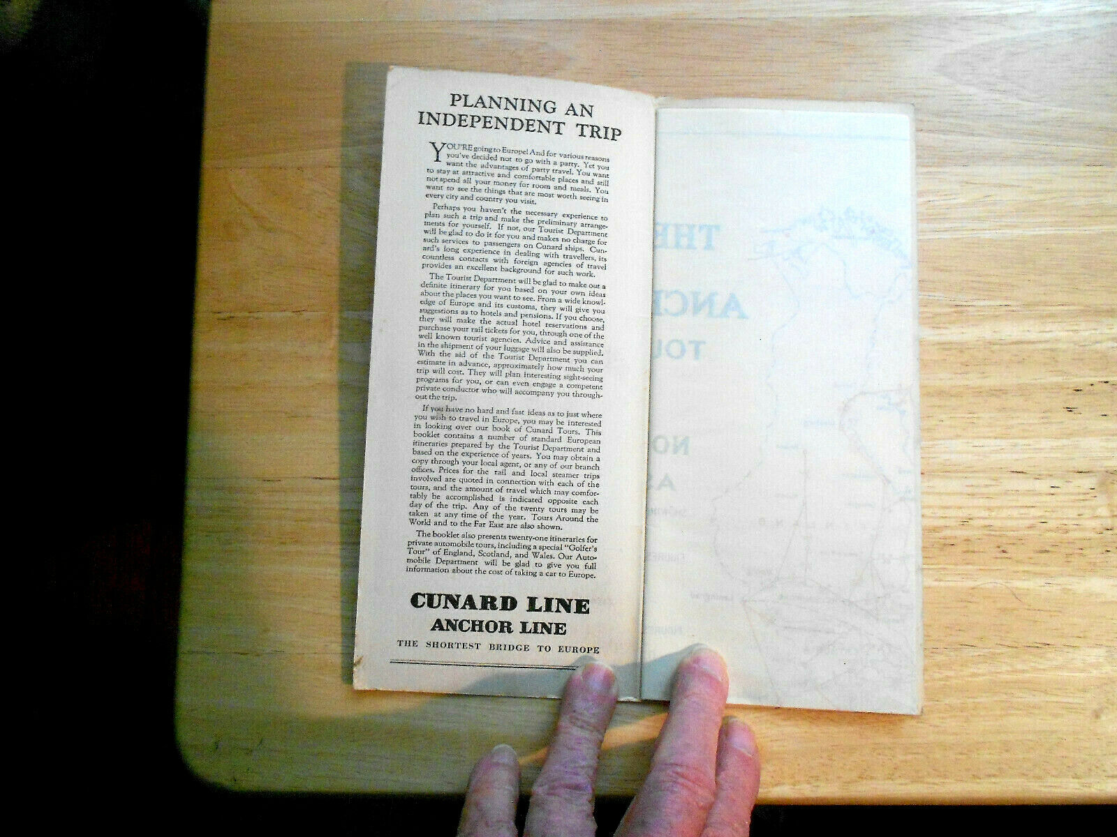
THE CUNARD AND ANCHOR LINES TOURIST MAP OF EUROPE, N. AFRICA, ASIA MINOR 1929
$ 3.95
- Description
- Size Guide
Description
The Cunard and Anchor Lines Tourist Map of Europe, North Africa, Asia Minor published by Cunard Steamship Lines in 1929. The map measures approx. 20 and 1/2 x 23 and 1/2.Payment by Pay-Pal within 7 days of end of listing
Shipping charge is based on First class pkg., a shipping weight of 5 oz. (includes protective cardboard), a pkg. size of 10 x 13 x 1, and my zip of 13501 to your zip
