-40%
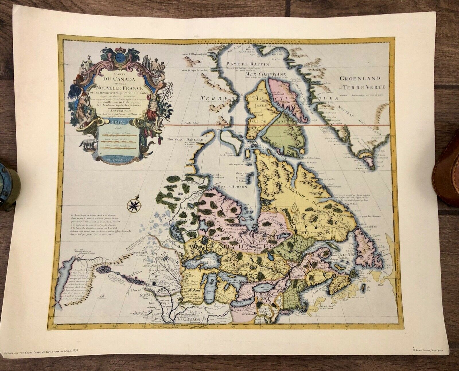
Vintage Map of Canada & The Great Lakes Guillaume De L'isle 1720 Penn Prints Map
$ 9.6
- Description
- Size Guide
Description
Vintage Map of Canada & The Great Lakes Guillaume De L'isle 1720 Penn Prints MapA Penn Print NY reproduction atlas map. Small tear on bottom left corner, some discoloration and creasing. Will be shipped rolled up. Measures 20" x 16".
*No hassle returns, fast shipping*
Our goal is 100% satisfied customers and a great shopping experience. We strive to describe each item as accurately as possible and any omissions or mistakes are not intentional. Feel free to contact us with any questions or issues you might have and we will make it right. We list new items every day so check out our store for more great finds!
